

lazarus
-
Posts
19,063 -
Joined
-
Last visited
-
Days Won
509
About lazarus

Recent Profile Visitors
4,962 profile views


lazarus's Achievements
")


-
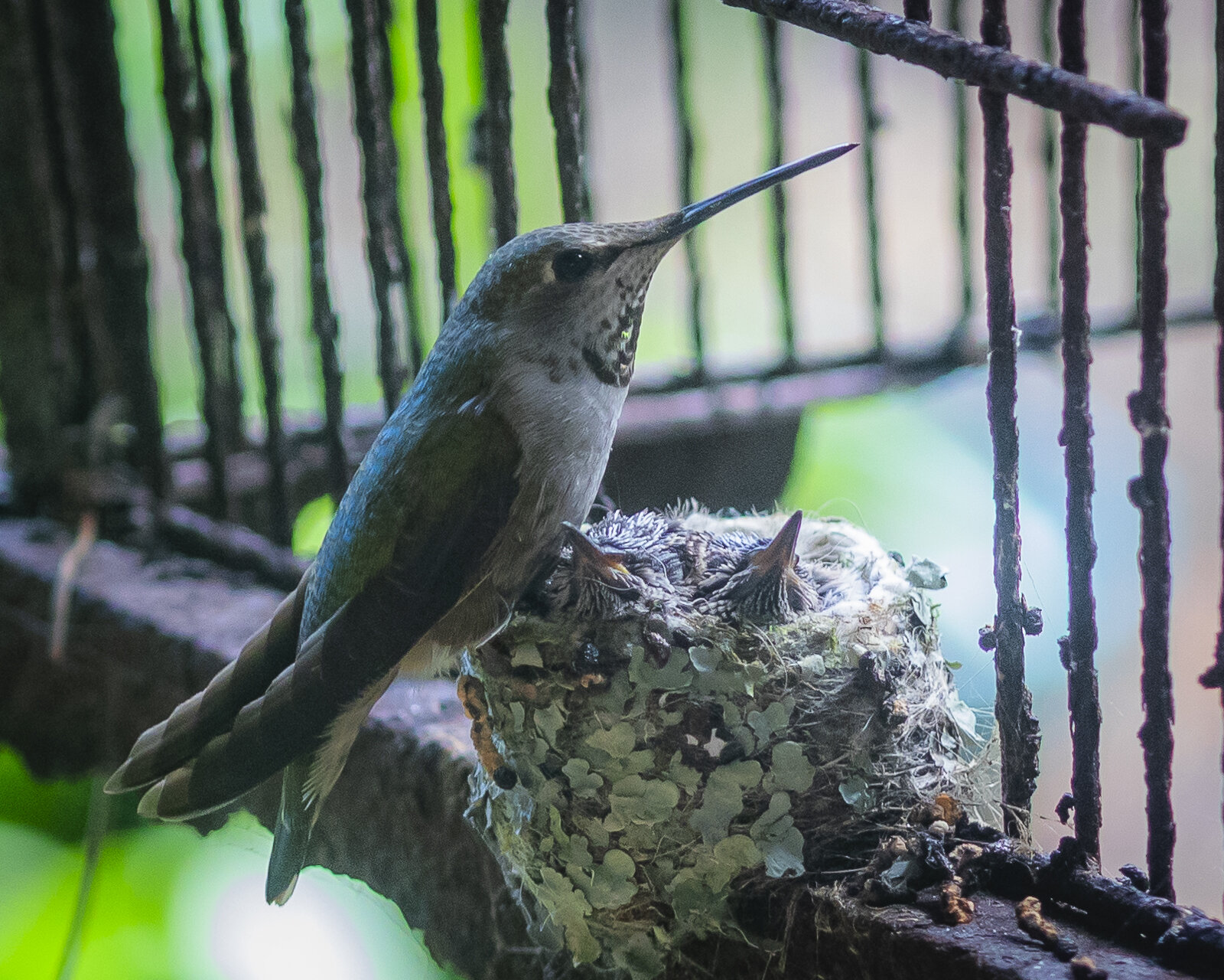
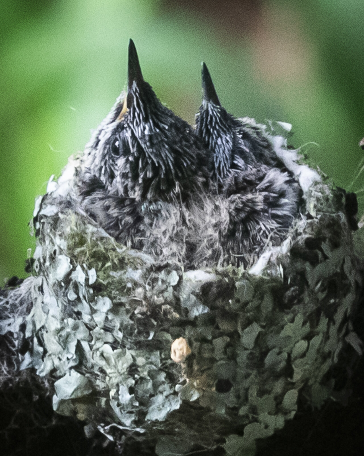
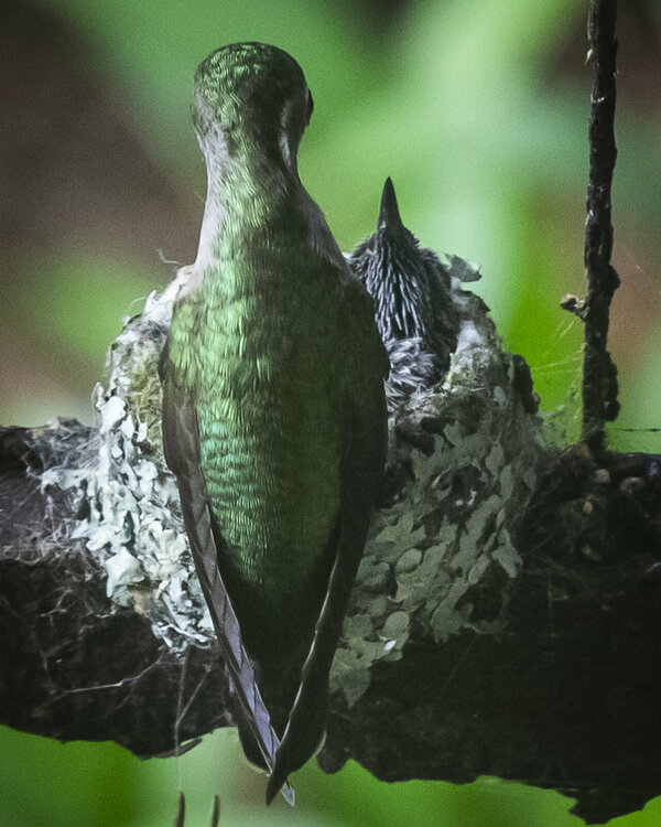
 My resident hummingbird chicks are growing...
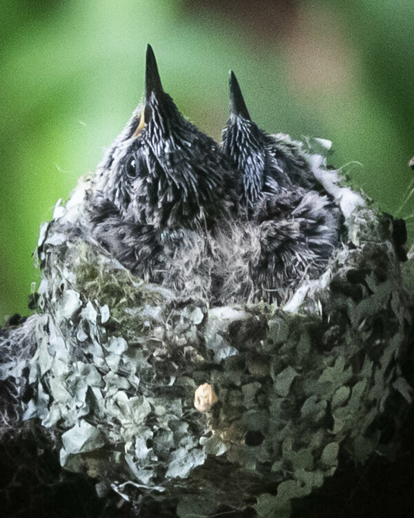
-
-
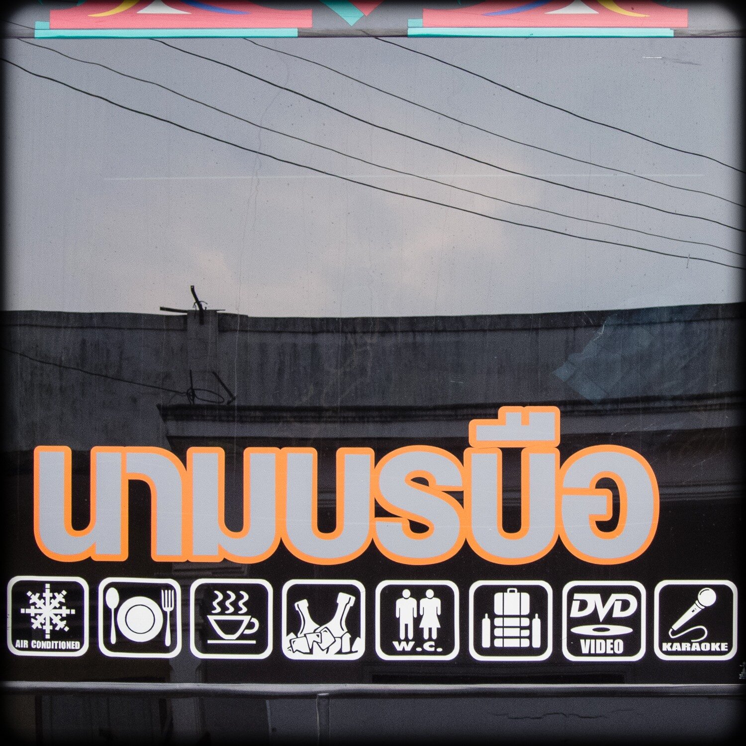
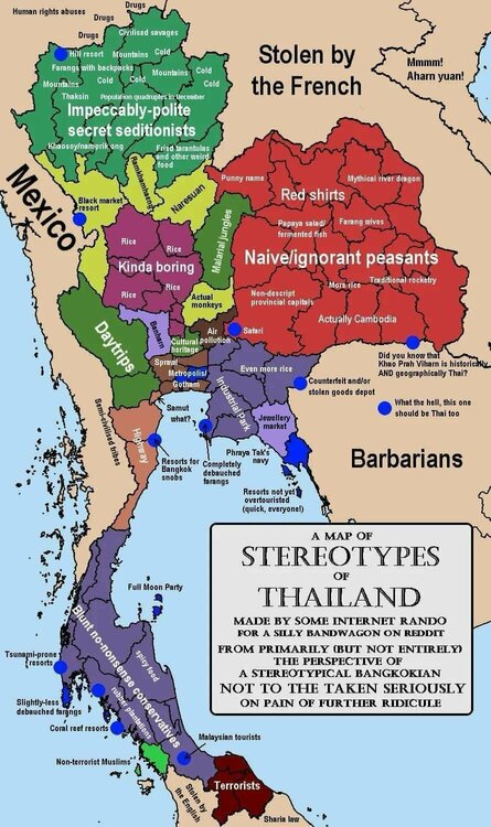
Post a random pic you took in Thailand
lazarus replied to Sangsom's topic in Photo's from around Thailand


-
-
Bingo. Good luck for some...bad for others.
-
In the video, what about the silver car that stopped at the intersection that the white car went around? Looks like it was giving the cross traffic the right of way? TiT...don't assume anything, right?
-
pakse, laos . . .